Daily synthetic aperture radar imagery for tracking of sea ice as well as ocean traffic. Updated every 24h.
Capture Time: 07/20/2026
SAR images provided by European Space Agency.
Leaflet Radar Layer
North-West and North-East Passage - weekly
Weekly composite of synthetic aperture radar images.
Capture Time: 07/15/2026 – 07/21/2026
SAR images provided by European Space Agency.
Embedded Leaflet COG Map
What these images show you
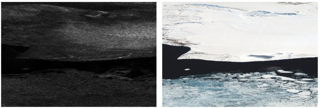
Ocean ice: A radar image appears on the right, accompanied by a composite view that overlays the radar data with a map, illustrating the extent of solid ice.
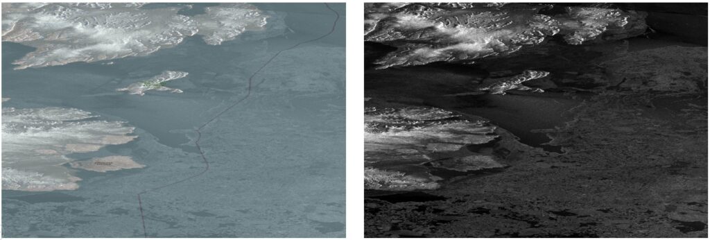
Another example of ocean ice depiction, left image showing a radar image, right image a false color optical image. The image shows the southern shore land of Spitzbergen Island.
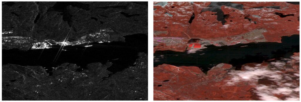
Building and ship detection along a coastal segment. The left image shows a radar image, while the right shows a false color optical satellite image. Several large ships can be seen in a harbor as well as associated buildings.